
WRM Water & Environment is an Australian employee-owned consultancy specialising in water resources. With a reputation for technical expertise and exceptional client service, WRM provides comprehensive advice across all fields of surface water.
Established in Brisbane in 2003, WRM has grown to become one of Australia’s most highly respected specialist water management consultancies. Having worked on projects in the Northern Territory since its inception, WRM expanded its presence to Darwin in 2018, with both offices now seamlessly delivering water resource projects across all Australian states and territories.
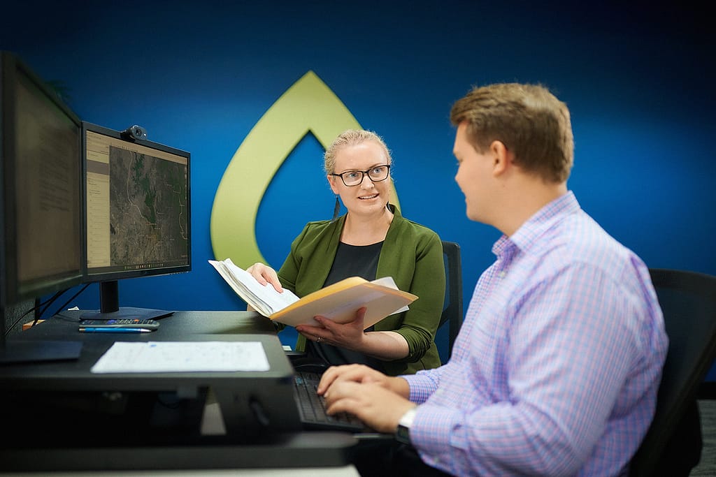
Our reputation is built on the close involvement of principals in every project we undertake.
This hands-on approach has consistently proven to be effective in delivering projects to the highest standards, and has helped us to establish long-term partnerships with our clients.
WRM excels in finding practical, innovative and cost-effective solutions to water resource challenges for our clients across a wide range of sectors including government, infrastructure, resources, land development and legal.